
The listing says 10 acres. The deed says 9.8 acres, more or less. The county parcel viewer says 10.34. Three numbers, one piece of ground, and none of them agree.
Most guides answer how to calculate acres with a single formula, length times width divided by 43,560. That works if your parcel is a rectangle. Most rural parcels are not.
There are three ways to reach an acreage figure, and which one you use depends on the description your deed carries. A set of dimensions sends you one direction. A public land survey description in quarters and halves sends you another. A list of bearings and distances sends you a third.
The first move is not to measure. In most cases the number is already written down, and Step 1 shows you where.
We will also show why the fence-length table on the page ranking first for this search describes lot sizes that cannot exist in any shape at all, with the arithmetic laid out so you can check us.
Start at Step 1 and stop when your document type is handled.
Step 1: Read the Acreage Off Your Deed First
Before you measure anything, find your deed. Which of three forms its legal description takes decides your method, and often the deed hands you the acreage outright.
Four pages rank at the top for questions about calculating acreage, carrying roughly 4,600 words of page text between them. The word deed appears once in all of it. The word plat appears once. Both sit on the same page, in the same bullet list, with no explanation of how to read either.
Credit where it is due. perryhomes is the one competitor that names the deed, the plat map and the county appraisal district as places to get dimensions, the only page pointing at the right paperwork.
1. Get the deed. If you do not have one, it is recorded with the county recorder or clerk of court and you can pull it by parcel number, often online at no charge.
2. Find the legal description. This is the block of text describing the land itself, not the buyer, seller or price. It usually ends with an acreage recital, very often followed by the words more or less. That phrase is normal, and Step 7 explains it.
3. Work out which of three forms it takes. Each routes you to a different step.
- Dimensions, a lot and block reference, or a recorded plat map. Go to Step 2.
- Quarters and halves tied to a section, township and range, such as the NE1/4 of the SW1/4 of Section 12. Go to Step 4.
- A run of bearings and distances that opens at a point of beginning and strings the courses together with the word thence. Go to Step 6.
One caution. If a recorded plat or survey states an acreage on its face, that number came from somebody measuring the ground, and it beats anything you work out by hand.
You now have the legal description in front of you and know which step is yours.
Step 2: Convert Length and Width Into Acres
Turn two dimensions into acres. One multiplication, one division, and the answer is exact for a rectangle.
Multiply the length in feet by the width in feet, then divide by 43,560.
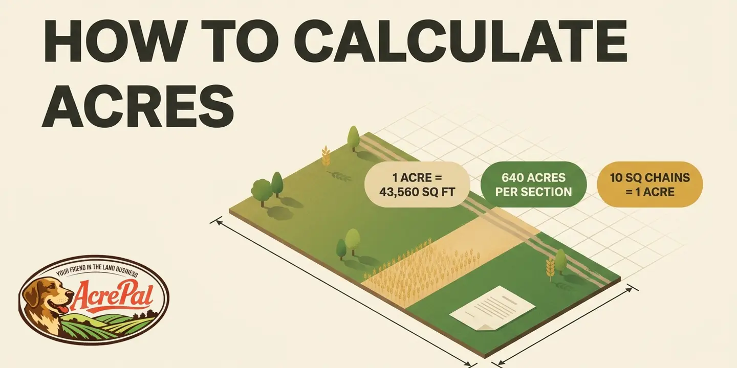
One acre is 43,560 square feet, 4,840 square yards, 4,046.8564 square meters, or 10 square chains, and a square mile holds 640 acres. Of the four pages ranking for this query, landcentury is the only one that gives you the square yard and square meter divisors instead of square feet alone. That is worth crediting, because it lets you work from square feet or metric figures without hunting for a second source.
The chain is the oldest unit on that list. The BLM's 2009 Manual of Surveying Instructions states in paragraph 9-66 that the area of a lot in acres equals the product of its mean dimensions in chains divided by 10, which is where 10 square chains comes from. Step 4 works with descriptions built on that grid.
Worked example one. A parcel measuring 1,320 feet by 1,320 feet. Multiply and you get 1,742,400 square feet, and dividing by 43,560 gives 40 acres exactly.
That is no coincidence. 1,320 feet is a quarter mile, and a 1,320 foot square is the classic 40 acre quarter-quarter section you meet again in Step 4.
Worked example two, with numbers that do not land clean. A parcel 660 feet by 1,000 feet comes to 660,000 square feet, and 660,000 divided by 43,560 is 15.15 acres.
Cross-check that through landcentury's square yard divisor and the two agree. 660,000 square feet is 73,333.33 square yards, and 73,333.33 divided by 4,840 is 15.15 acres.
Run your own dimensions through the calculator below.
| Measure | Value |
|---|---|
| Acres | 5.0000 |
| Square feet | 217,800 sq ft |
| Square yards | 24,200 sq yd |
| Square meters | 20,234.3 m2 |
| Hectares | 2.0234 ha |
| Square miles | 0.007812 sq mi |
| Perimeter of the rectangle you entered | 1,980.0 ft |
| Perimeter if the parcel were a square | 1,866.8 ft |
| Shortest perimeter any shape could have | 1,654.4 ft |
Write down the acreage it gives you and keep the perimeter figure next to it. Step 3 is about what that perimeter number is worth and a published table that gets it badly wrong.
This method is exact for a rectangle and only for a rectangle. If your parcel is irregular, go to Step 6. If your deed reads in quarters and halves, go to Step 4.
Step 3: Check the Perimeter Before You Price Fence
Get a perimeter number that buys enough fence. The lot size table on the top ranking page calls 209 feet a quarter acre's perimeter. Bend 209 feet of fence into a circle, the best case shape, and it encloses 3,476 square feet, or 0.080 acre.
A square lot's perimeter is four times the square root of its area, so one acre comes to 834.84 feet. inchcalculator publishes that correctly, writing "The average acre has 835 linear feet around the perimeter for which to fence."
The five fractional rows below it multiply 835 by the lot fraction. 835 times 0.25 is 208.8, published as 209. 835 times 0.5 is 417.5, published as 418. Perimeter scales with the square root of area, not with area, so halving a lot multiplies its perimeter by 0.707, not by 0.5.
A quarter acre is 10,890 square feet, whose square root, 104.35 feet, is the side of a square quarter acre. Four sides come to 417.4 feet, a ratio of 1.997 against the published 209, almost exactly double.
These rows are impossible, not merely wrong. The isoperimetric inequality says the perimeter squared of any closed shape is at least 4 times pi times the area. All five rows fail it. No shape at all fits a quarter acre inside 209 feet.
| Lot | Table says | Square needs at least | Max any shape holds |
|---|---|---|---|
| 1/4 | 209 ft | 417.4 ft | 0.080 acre |
| 1/3 | 279 ft | 482.0 ft | 0.142 acre |
| 1/2 | 418 ft | 590.3 ft | 0.319 acre |
| 2/3 | 558 ft | 681.6 ft | 0.569 acre |
| 3/4 | 627 ft | 723.0 ft | 0.718 acre |
Note the words at least. Only a perfect square hits 417.4 feet, and any other rectangle needs more. Against a square lot the 3/4 acre row falls short by 13.3 percent and the 1/4 acre row by 49.9 percent.
None of this makes the page bad. Its core formula, length times width divided by 43,560, is correct and its map pin tool is genuinely useful. The Step 2 calculator returns those bounds so you can check every figure here.
Step 4: Compute Acreage From a PLSS Aliquot Description
Read the acreage straight out of a quarters and halves description without measuring anything. It takes about ten seconds of arithmetic.
The system behind it is the Public Land Survey System, whose basic unit is the section, nominally 640 acres.
Two ways, same answer.
Longhand. Start at 640, then divide by 4 for every quarter call and by 2 for every half call. One call, the NE1/4, gives 640 divided by 4, or 160 acres. Two calls, the NE1/4 of the SW1/4, give 640 divided by 16, or 40 acres. Three calls give 640 divided by 64, or 10 acres.
A half call divides by 2, so the N1/2 of the NE1/4 is 640 divided by 8, or 80 acres.
The denominator shortcut. Multiply the denominators of every fraction in the description together, then divide that product into 640. Jeff Davis of American Realty Academy teaches this one, and no competing page mentions it.
Reading direction trips people up. Solve right to left. The phrase of the signals a nested fraction, so multiply. The word and signals two separate parcels, so compute each and add.
Example one, the S1/2 of the NW1/4 of the NE1/4. Denominators 2 times 4 times 4 give 32, and 640 divided by 32 is 20 acres.
Example two, compound. The N1/2 of the NE1/4 of the SW1/4 and the SE1/4 of the NW1/4.
First parcel, 2 times 4 times 4 is 32, so 640 divided by 32 is 20 acres. Second parcel, 4 times 4 is 16, so 640 divided by 16 is 40 acres. Together, 60 acres.
The BLM's manual records that "The Act of April 5, 1832 (4 Stat. 503; 43 U.S.C. 753), determined that the 40-acre aliquot part and the Government lot are the smallest legal subdivision under the public land laws."
You now have a nominal acreage. Step 5 tells you when it is dependable.
Step 5: Confirm Your Section Is a Regular Section
Find out whether Step 4's arithmetic applies to your parcel. The BLM's Manual of Surveying Instructions works a full acreage example on the specimen plat in its appendix. Seven government lots in section 6, and not one is 40 acres.
Not every section is regular. Paragraph 3-32 is explicit, "The regular township includes 36 sections in all, 25 of which are regular sections returned as containing 640 acres each, subdivided into regular 'aliquot parts,' based on midpoint protraction and intersections."
If 25 of 36 are regular, the other eleven are not. They are the north tier, sections 1 through 6, and the west tier, sections 6, 7, 18, 19, 30 and 31. Section 6 sits in both, so 6 plus 6 minus 1 gives 11 irregular and 36 minus 11 leaves 25 regular.
The reason is geometry, not sloppiness. The manual explains that "The sections along the north and west boundaries are subdivided on a plan for certain lottings to absorb the convergency and the excess or deficiency in the measurements." Convergency is the plain fact that north-south lines draw closer as they run north.
Even the 25 regular sections hold 640 acres only "within allowable limits". Irregular sections other than section 6 carry aliquot parts totaling 480 acres plus four lots. Section 6 carries 360 acres of aliquot parts plus seven.
The manual works out those seven lots. The areas come to 40.03, 40.03, 40.01, 35.53, 35.59, 35.65 and 35.71 acres, a range from 35.53 to 40.03 with not one landing on 40. This is an illustrative example inside the manual, not a real parcel anyone owns, but it shows how the federal government's own system behaves.
If the description names an aliquot part in a regular section, Step 4's arithmetic holds. If it names a lot number instead, such as Lot 3 of Section 6, do not compute anything. The acreage is whatever the government surveyor measured, printed on the plat.
The manual also writes the hedge into its own definition, describing a system that "typically describes townships of 36 square miles comprised of sections of 1 square mile (640 acres, more or less)". That is where your deed's phrase comes from, and Step 7 takes it up.
Step 6: Calculate Acreage From a Metes and Bounds Description
Get a workable acreage out of an irregular parcel described by bearings and distances. For the parcels most rural buyers own, the top pages offer landcentury's advice, "When dealing with an irregular lot, we highly recommend that you hire a professional surveyor that has been through the process before."
Its primary method is a measuring wheel, and the page never mentions a deed at all. Hiring a surveyor is often the right call. It is not an explanation.
A metes and bounds description opens at a point of beginning and runs the boundary course by course, each carrying a bearing and a distance, joined by the word thence, until it closes where it started. A single course reads thence North 88 degrees 14 minutes East, 660.00 feet. Call lists come out of a boundary survey.
The exact method. Convert each course into a latitude, its north-south component, and a departure, its east-west component. Chain those into running coordinates for every corner and the area follows.
The federal manual does not treat the coordinate method as standard. Paragraph 9-69 states that "The method used to perform automated computation should follow the D.M.D. method. This method is described in many textbooks and is preferred to avoid large errors that can arise from coordinate based methods." D.M.D. stands for "double meridian distances".
The method most people can finish. Break the parcel into rectangles and triangles on the plat, compute each, and total the square feet.
Say a lot splits into a 300 by 400 foot rectangle plus a triangle 300 feet at the base, 180 feet high. The rectangle is 120,000 square feet, the triangle is half of 300 times 180, or 27,000, and 147,000 divided by 43,560 is 3.37 acres.
Two honest limits. Doing this by hand is tedious and error prone, and a document complete enough to run it almost certainly states the acreage. Curves break it outright, so a radius and arc length call, or a creek as a property line, will not come out right from straight lines.
Step 7: Decide Which Acreage Record Governs
Decide which of your numbers governs and what each is safe for. You hold four figures that do not match, from the deed, the assessor, the listing and your own arithmetic. That is normal for rural land rather than a red flag. The four answer different questions.
The deed's legal description is what was conveyed and governs what you own. The assessor's acreage is a tax figure kept for valuation, not conveyancing. The listing acreage is usually copied from one of those two. A boundary survey is the only one where somebody walked the ground and measured.
County parcel viewers are free and useful, and the counties are straight about their limits. We read the published GIS terms for Mohave County, Arizona and Putnam County, Florida. Two counties, not a national sample, and we will not speak for others.
Mohave County calls its mapped areas approximate and not necessarily accurate to surveying or engineering standards, adding that "X/Y coordinates may be in error by several hundred feet or more." In the county's own capital letters, "It should be interpreted as the best available compilation, but SHOULD NEVER BE SUBSTITUTED FOR SURVEY OR DEED INFORMATION."
Putnam County is briefer. Its GIS data is "provided as a visual representation only and is not to be used as a legal or official representation of legal boundaries."
A parcel crossed by a county road or a utility right of way is sold and taxed at its gross acreage, while the buildable part is smaller by whatever the corridor takes. A legal boundary also often runs to the centerline of an adjoining road or stream, not the fence line most buyers would eyeball.
More or less means the acreage is an estimate rather than a guaranteed quantity, and Step 5 showed the federal manual using it in its own definition of a section. Attorneys distinguish land priced by the acre from land sold in gross for a lump sum. Whether a shortfall gives you any remedy is state law, a question for a real estate attorney. One forum poster described buying land listed at 70 acres, more or less, that a survey later put at 67.
That is why we publish the acreage, the legal description and the parcel number on every property at AcrePal, so you can run it yourself before you talk to us.
Frequently Asked Questions About Calculating Acres
How many square feet are in an acre?
An acre is 43,560 square feet. It is also 4,840 square yards, 4,046.8564 square meters and 10 square chains, and a square mile holds 640 acres. Deed and plat dimensions are almost always in feet, so divide any square foot total by 43,560.
How accurate is measuring acreage on Google Maps or Google Earth?
Good enough for a first pass, not for a purchase decision. The flat projection is not the problem, because your deed's acreage is flat area too. The BLM manual reports distance as "the horizontal measurement at the mean ground elevation", so a hillside earns no extra acres. The errors come from where you place each vertex by hand, how well the imagery registers to the ground, and tracing a fence or tree line, not the legal boundary.
Does the deed or the county assessor's acreage govern?
The deed's legal description governs what you own. The assessor's acreage is maintained for tax valuation, not conveyancing, and the two disagreeing is common rather than alarming. Neither is necessarily a measured figure. Only a boundary survey measures the parcel, and Step 7 treats it as the tiebreaker.
What does "more or less" mean after the acreage in a deed?
It signals that the stated acreage is an estimate, not a guaranteed quantity, and it is not sloppy drafting. The BLM's own manual writes "640 acres, more or less" into its definition of a section. Whether a shortfall gives you a remedy depends on state law and is a question for a real estate attorney.
Do I need a surveyor to know my acreage?
Not to get a working number, yes if the boundary or the exact acreage is load bearing for your purchase. Get a quote from a local licensed surveyor, then weigh it against your price per acre times the acreage you are unsure about.
Does the US survey foot change my acreage?
No. The two definitions of the foot differ by about 4 parts per million, or 0.17 square feet on an acre and 111.51 square feet across a full 640 acre section, a square about 11 feet on a side. NIST retired the US survey foot effective January 1, 2023. It is a coordinate problem, not an acreage problem.